Telangana to take up digital land survey soon
The State shortlisted 24 agencies to carry out the pilot project of cadastral studies in some of the litigation-free villages
Hyderabad: State government has fast-tracked the process of conducting the unique digital survey of agriculture lands in the State with the shortlisting of 24 agencies to carry out the pilot project of cadastral studies in some of the litigation-free villages.
Most of these agencies, which have carried out land surveys in other States too, are based in Hyderabad. A meeting was also held with the agencies that were identified for the purpose.
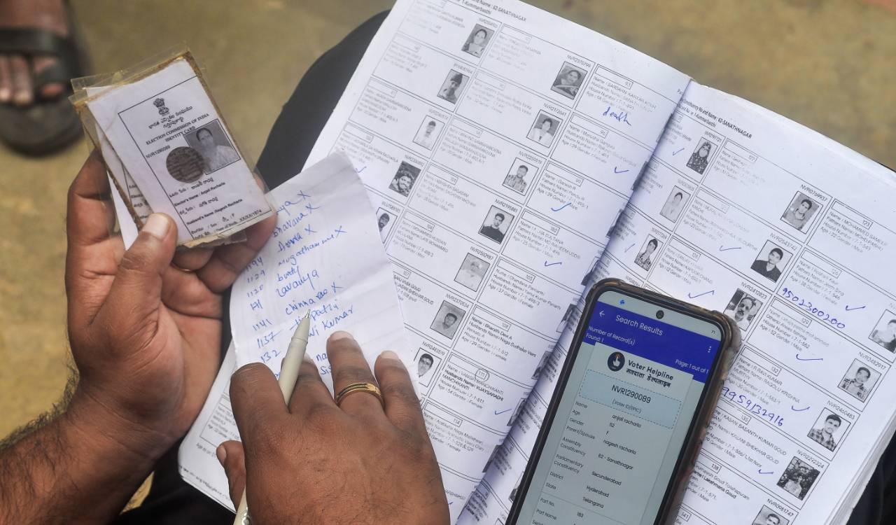
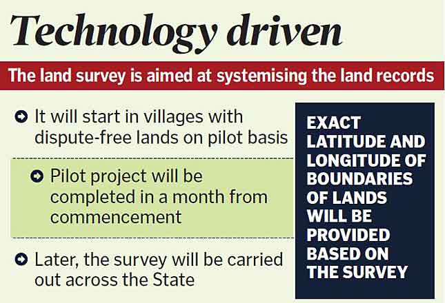
In all, 29 companies responded to the State government’s invitation for expression of interest for the survey. The entire exercise is aimed at systemising land records and the exact latitude and longitude of land boundaries will be provided based on the survey.
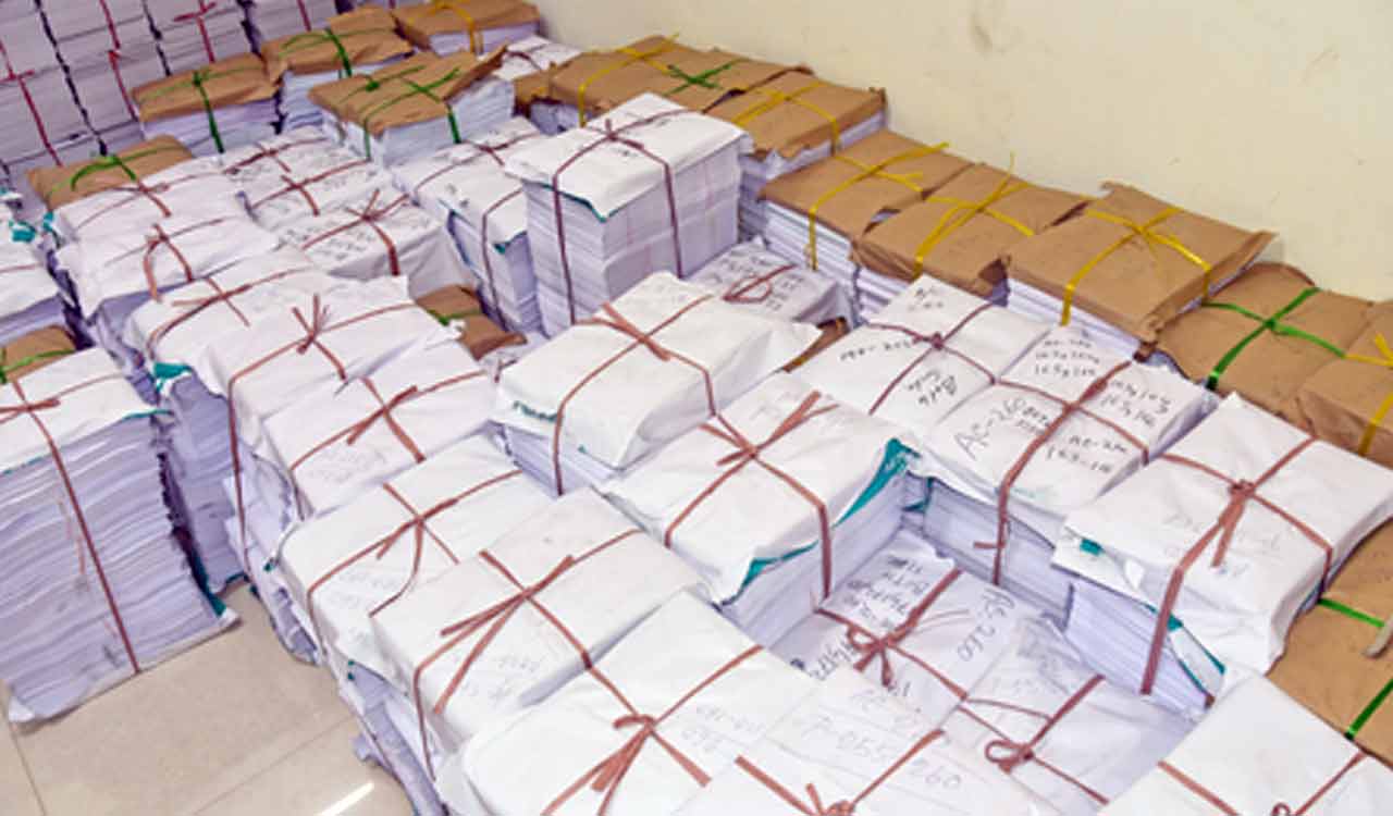
The digitisation would not only resolve disputes involving agriculture lands, but also endowment, Wakf, forest and other government lands. An amount of Rs 400 crore has been earmarked in the budget estimates 2021-22 for the comprehensive land survey.
If everything goes well, the survey will be taken up in villages, which are free of land disputes, after completion of ongoing Palle and Pattana Pragathi programmes.
“Once the survey begins, the entire exercise can be completed in a month,” a senior official, who is supervising the entire process, told Telangana Today. Based on the pilot project report, the government will implement it across the State after studying the pros and cons, though in principle it has decided to conduct the survey in the State.
To help iron out issues
The pilot project of the massive land digitisation survey expected to be taken up soon will also help the State government sort out various problems before implementing the full-scale exercise across the State.
“We can also work out a strategy to solve problems with the help of the pilot project report,” an official told Telangana Today, adding that if necessary, feedback from elected representatives will also be taken.
Officials said once the full-scale survey is taken up across the State later, there will be complete clarity on all land issues. Dispute over government and forest lands and between forest lands and private lands along with the boundary disputes between farmers on agriculture land will be resolved. Coordinates for lands will also be provided, they said.
The police department can also heave a sigh of relief once the digitisation of agriculture land records. “Every season, groups of farmers come to police stations with complaints including boundary disputes and water flow. It becomes difficult for us to handle these situations. But once digitisation is completed, there will be no scope for such complaints since the coordinates of land owners will also be clear,” a senior police official said.
The official went on to point out that during the lockdown in 2020, the Station House Officers (SHOs) of police stations in some districts put up flexi-boards asking farmers not to assemble in front of the station premises in large numbers in connection with boundary disputes due to Covid-19 pandemic. They asked the farmers to drop their complaint in the drop box provided at the police station.
Now you can get handpicked stories from Telangana Today on Telegram everyday. Click the link to subscribe.
Click to follow Telangana Today Facebook page and Twitter .