Telangana seeks Chhattisgarh NOC for Sammakka Sarakka barrage
Telangana has sought an early NOC from Chhattisgarh for the Sammakka Sagar Project to enable full reservoir storage and realise irrigation benefits. Minister N Uttam Kumar Reddy assured compensation for land and houses affected by submergence in Chhattisgarh.
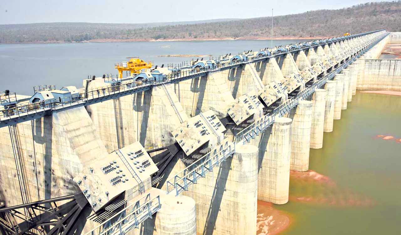


Hyderabad: The Telangana government sought an early No Objection Certificate (NOC) from Chhattisgarh for the Sammakka Sarakka barrage, officially known as the Sammakka Sagar Project, to enable full reservoir storage and realise its intended irrigation benefits.
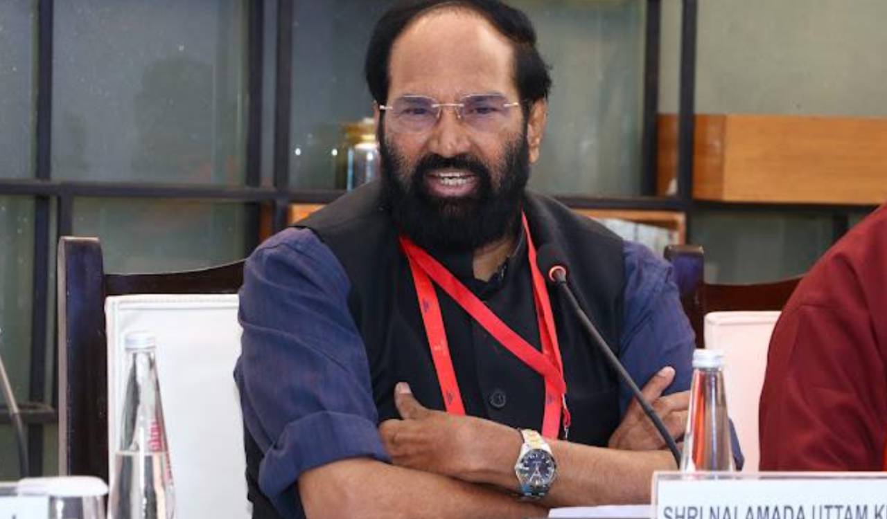
Irrigation Minister N Uttam Kumar Reddy met Chhattisgarh Chief Minister Vishnu Deo Sai in New Delhi on Thursday, in this regard and assured that Telangana would pay full compensation for affected land and houses in Chhattisgarh due to submergence. He also conveyed the State’s willingness to deposit the compensation amount in advance, based on assessment under applicable rules.
The 1,143-metre barrage across Godavari River at Tupakulagudem has 59 radial gates and a designed storage capacity of 6.94 TMCft at a full reservoir level of 83 metres. The project envisages diversion of 46.96 TMCft of Godavari water.
The project construction began in 2018 and was substantial work was completed during the previous BRS government to create pondage for irrigation systems. Several technical clearances have been obtained, but appraisal of inter-State issues remains pending for want of Chhattisgarh’s NOC.
The project’s key objective is to stabilise 4.40 lakh acres under Phase II of the Sriram Sagar Project and provide irrigation to a new 30,000-acre ayacut under the Ramappa-Pakhal Link Canal. It also envisages stabilisation of part of the Devadula Lift Irrigation Scheme’s ayacut and meeting drinking-water needs along the route.
Telangana has already paid Rs 9.883 crore to Chhattisgarh’s Water Resources Department for a study of backwater effects. The department reported in August that DGPS surveys for full reservoir and high flood levels had been completed, while LiDAR drone surveys and field-data collection were underway.

Related News