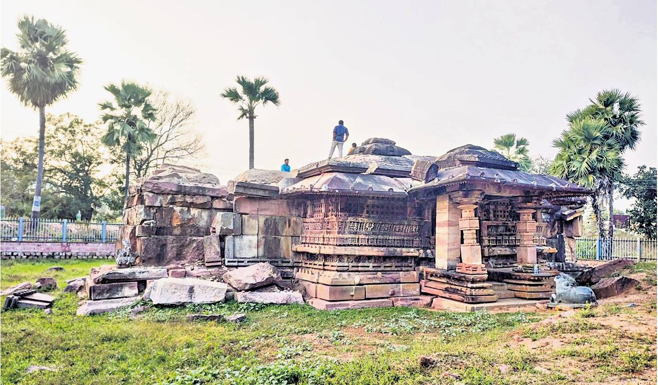
Telangana to unravel mystery behind UNESCO-listed Mudumal Menhirs, excavations in November
Telangana is set to commence archaeological excavations at the Mudumal Menhirs site in Narayanpet district in November to uncover details about a prehistoric civilisation believed to have lived there around 3,000 years ago.


Hyderabad: Telangana is set to unravel the mystery behind the Mudumal Menhirs, a kind of upright stone monument erected during the prehistoric era, in Narayanpet district, as excavations are expected to commence in November.
The Heritage department has recently issued a tender, inviting bids from contractors with previous archaeological excavation experience to undertake excavations at Mudumal Menhirs, which have already made it to the UNESCO World Heritage site tentative list.
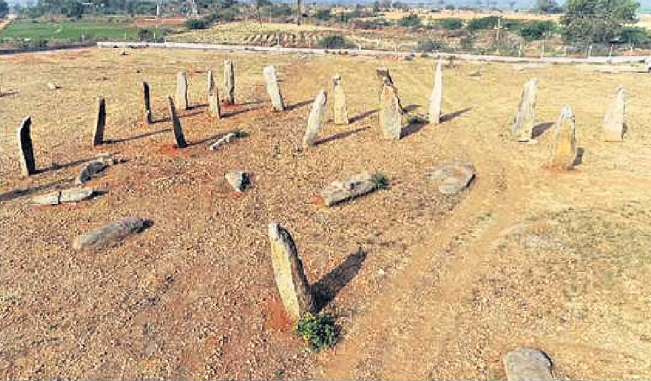
This megalithic burial site in Mudumal, which is home to 80 big menhirs, is one of the important areas in the State that reflects people’s culture, tradition and astronomical knowledge who lived here some 3,000 years ago.
Originally spread across about 80 acres, the menhirs are about 3 to 5 metres tall. In addition, there are several thousands of aligned boulders of about 1 to 1.5 metre in width and breadth, with a height of 0.5 to 1 metre. The site also has several megalithic stone circles.
The excavations, estimated to cost Rs 39,97,300, will be completed in four months from the time of awarding the tender. Following the excavation, DNA samples from the site will be sent to CSIR-CCMB to ascertain who the people were and their ancestry.
As per the department’s preliminary study, the Menhirs of Mudumal were in patterns known as Alignments (single rows) and Avenues (two parallel rows), suggesting they were placed to track the sun’s movement and mark the summer and winter seasons, besides creating calendars.
Further, on a small hill near the site, thousands of smaller stones arranged in patterns, including stone circles, have been found. Among these, a near-square stone about 80 cm tall has a sloped top with cup-shaped markings.
The study showed that these marks depict the Ursa Major constellation, which is also known as the ‘Saptarshi Mandala’ in India. This, as per the department, could be one of the earliest known star maps in South Asia made around 3,000 years ago. The arrangement of the stones, along with the sun’s alignments and star map, suggested that Mudumal functioned as a megalithic observatory.

Related News