Drone survey nears completion in pilot villages of Telangana, Bhu Bharati rollout next
Telangana’s Bhu Bharati pilot drone survey is nearing completion in five villages. Aimed at resolving land disputes and updating records, the project uses drones and ground surveys. A Statewide rollout is planned after evaluation, with 413 more villages next
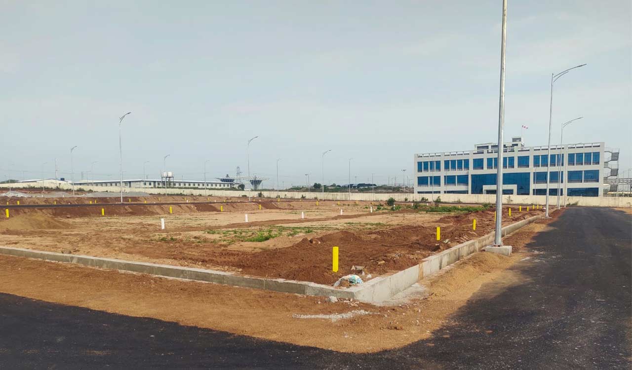
Hyderabad: The pilot phase of the drone survey under the Bhu Bharati initiative, launched on June 3 in five villages across Telangana, is nearing completion. Once the survey is concluded in the coming months, the findings will be submitted to the Revenue Department, paving the way for a Statewide rollout of Bhu Bharati.
The digital survey aims to resolve long-standing land disputes and redefine boundaries with greater precision. As of Saturday, officials had completed around 75 per cent of the survey in Mulugumada village (Khammam district), Salarnagar (Mahabubnagar), Kommanapally (Jagtial), Nooguru (Mulugu), and Shahidnagar (Sangareddy).
The drone survey, aided by Differential Global Positioning System (DGPS), is being cross-verified to ensure accuracy. Unlike outdated Tippan Naksha maps from the Nizam era, which were created manually, the drone-based surveys offer both speed and precision. These modern tools help verify village boundaries and land parcel measurements with high accuracy, completing tasks in hours that would otherwise take days.
Sources said that to ensure transparency and accuracy, the government is using a combination of aerial (drone-based) and ground surveys. The collected data will be used to prepare geo-referenced cadastral maps and update land ownership records.
Survey maps generated from the pilot phase are being reviewed for consistency with existing pahanis and are being submitted to district collectors. The updated land records will be placed before gram sabhas during upcoming Revenue Sadassulu (revenue meetings), after which legitimate titles will be finalised.
Following the pilot evaluation, the State government will finalise a policy for a full-scale survey and select the most appropriate technologies for large-scale implementation. Officials said there are plans to extend the drone survey to another 413 villages that currently lack proper village maps and sethwars — foundational land records detailing survey numbers, land area, ownership and other crucial data.
Considering the project’s scale, the government is also exploring financial assistance under various State and Central schemes to support the broader implementation.