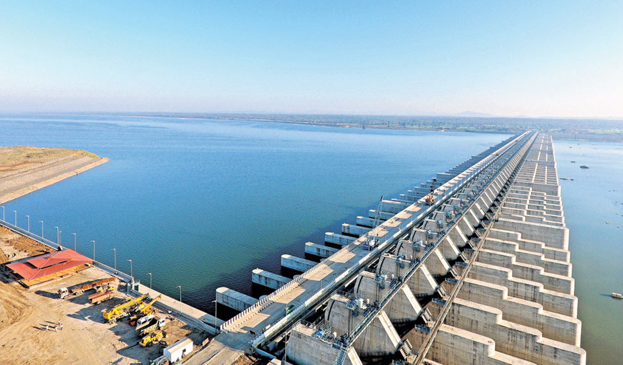
Mallannasagar safe, earthquake theory baseless: Irrigation dept officials
Hyderabad: Dismissing the earthquake theory floated by critics against Mallannasagar as baseless, Irrigation department officials said necessary studies were conducted before taking up the project in Siddipet. Mallannasagar, described as the ‘mother’ reservoir of Kaleshwaram Lift Irrigation Scheme (KLIS), was inaugurated by Chief Minister K Chandrashekhar Rao on Wednesday last. Mallannasagar critics claimed that the […]
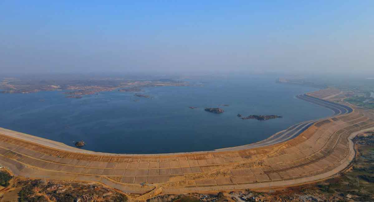
Hyderabad: Dismissing the earthquake theory floated by critics against Mallannasagar as baseless, Irrigation department officials said necessary studies were conducted before taking up the project in Siddipet.
Mallannasagar, described as the ‘mother’ reservoir of Kaleshwaram Lift Irrigation Scheme (KLIS), was inaugurated by Chief Minister K Chandrashekhar Rao on Wednesday last. Mallannasagar critics claimed that the reservoir’s location was risk-ridden since sub-surface lineaments are believed to exist in the area.
A reservoir of 50 TMC capacity and standing water column to a height of about 60 meters would induce tremors in the reservoir area which in turn will cause heavy damage to lives and properties around the reservoir in case it breached, the critics claimed, citing the example of Koyna dam in Maharashtra where, they said, standing water in the reservoir induced tremors to occur in 1967.
A top irrigation official told Telangana Today that this was a baseless allegation. The government had the subsurface strata at Mallannasagar area examined by the Central Water and Power Research Station (CWPRS), Pune, that ruled out the existence of lineaments as claimed by the critics.
Prior to the detailed sub strata examination by the CWPRS, reconnaissance and LiDAR survey were conducted in and around the reservoir site by WAPCOS, a Central government organisation, which prepared a Detailed Project Report (DPR) for Kaleshwaram project. Analysed borehole data extracted from hundreds of boreholes driven on dam line and within submergence area did not reveal any lineaments or loose strata in the reservoir area, the official said.
According to the official, it was a normal practice to rule out such lineaments, faults, and loose sedimentation strata beneath the dam line for safe foundation. Project authorities had carried out all mandatory geological tests under the guidance of Geological Survey of India to confirm that subsurface strata beneath the dam line were safe for formation of gigantic earth dam of 60 meters height.
Engineers of Central Designs Organization of Telangana State Irrigation Department had visited similar earth dams constructed at Brahmamgari matam reservoir in Rayalaseema in Andhra Pradesh and Turial dam in Mizoram.
They had meticulously studied the problems encountered in the design and construction of those high earthen dams before finalizing designs of Mallannasagar earth dam.
As far as history of earthquakes is concerned, Telangana had no history of earthquakes or tremors. In India, Himalayan ranges, north eastern region, western and eastern ghats, Vindhya hill ranges had a history of earthquakes and tremors. Telangana was centrally located in Deccan plateau, which has thick ingineous rock strata that is less prone to tectonic movements.
Seismologists classified India into five zones in terms of magnitude of possible earthquakes. Areas which fall in zones one, two and three are less prone to seismic effects and areas which fall in zones four and five were highly seismic.
Over 80 per cent of Telangana region falls in zone two and 20 per cent areas in zone three. The location of Mallannasagar falls in zone two. Thus, the earthquake theory formulated by critics against Mallannasagar was baseless, officials added.
Now you can get handpicked stories from Telangana Today on Telegram everyday. Click the link to subscribe.
Click to follow Telangana Today Facebook page and Twitter .
Related News
-

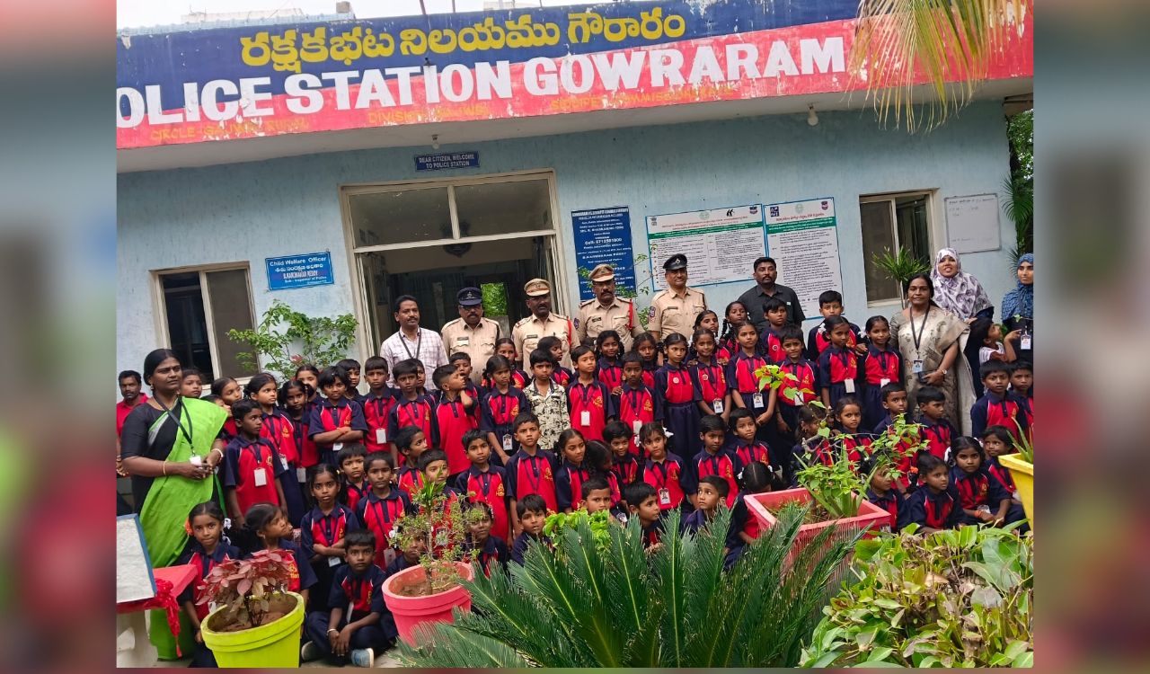
Siddipet: Thunki Khalsa primary school students visit Gouraram police station for policing awareness
-
NDSA clarifies decision on Kaleshwaram water pumping rests with Telangana govt
-
Kotha Prabhakar Reddy demands action against belt shops in Dubbak
-
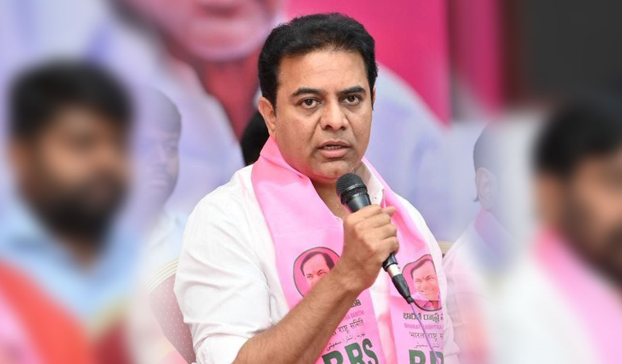
KTR questions Congress govt’s ill-preparedness to mitigate El Nino challenges