Telangana: Paloncha Municipality Master Plan to meet development needs of next 20 years
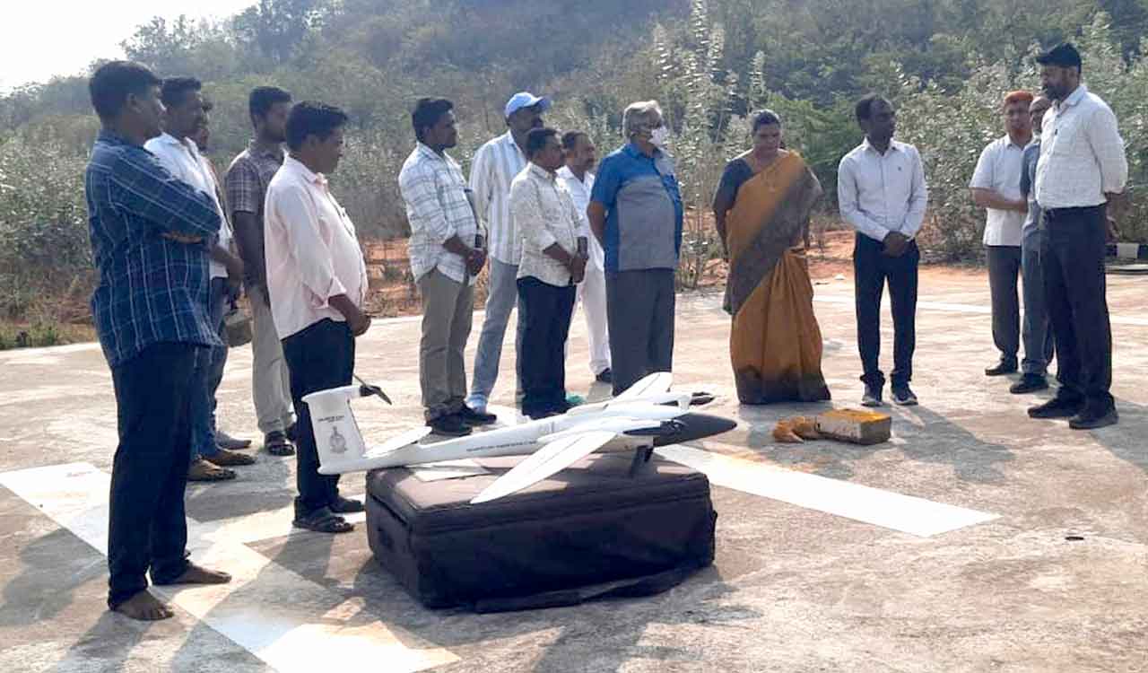
The Geographic Information System (GIS) based digital survey using drone cameras has been launched recently in the town
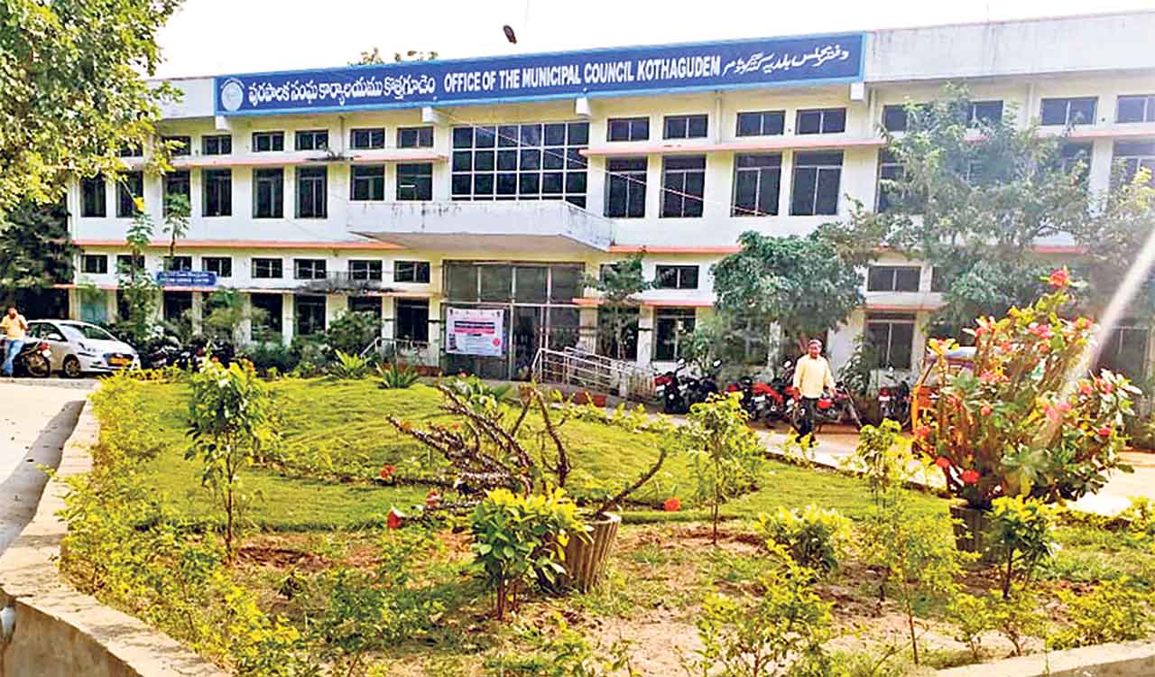
Kothagudem: A digital Master Plan is being prepared keeping the developmental needs of Paloncha Municipality for the next 20 years.
The Geographic Information System (GIS) based digital survey using drone cameras has been launched recently in the town. The district Collector Jitesh V Patil said that a problem-free Master Plan is being prepared for the municipality to digitise the data for future generations with the help of latest technology.
Paloncha Municipality is among the several municipalities with a population of 50,000 to 1 lakh in the State selected under the Central Government’s Atal Mission for Rejuvenation and Urban Transformation (AMRUT) 2.0 scheme for conducting digital survey.
With the help of satellites and drones, imagery of the surface height, roads, houses, drainage, drinking water pipelines, cell towers, toilets, tanks, markets, Vaikunta Dhamam and others under the municipality will be collected to prepare a base map, which would be crucial in the town’s development, he said.
Municipal Commissioner K Sujatha told Telangana Today that the existing Master Plan was prepared in 2005 and it was a manual Master Plan, with which identifying the coordinates of the area is difficult. With digital map coordinates of government lands, nalas, tanks, green area, roads could be identified easily.
Survey of India technical officer Burra Gopal said that as part of the digital survey 63 square kilometres of area under the municipality limits would be surveyed. The digital survey aimed to prevent disputes involving government lands, besides paving the way for futuristic development of the town, he added.
Related News
-

KLN Yadav Park water body dries up amid severe summer in Hyderabad
-
HC refuses stay, Kothagudem Municipal Corporation elections on February 11
-
Kothagudem corporation formation: Telangana HC refuses interim relief
-
Andaman & Nicobar administration seeks suggestions from public for naming 586 uninhabited islands