Esri India looking at new applications, innovations based on GIS technology
Hyderabad: Esri India Technologies, an end-to-end Geographic Information System (GIS) software and solutions provider, is looking at new innovations including indoor mapping for airports, office infrastructure, manufacturing plants, which helps in facilities management, saving energy costs, and to make infrastructure more sustainable. It is also strengthening the usage of GIS and exploring new applications in […]

Hyderabad: Esri India Technologies, an end-to-end Geographic Information System (GIS) software and solutions provider, is looking at new innovations including indoor mapping for airports, office infrastructure, manufacturing plants, which helps in facilities management, saving energy costs, and to make infrastructure more sustainable. It is also strengthening the usage of GIS and exploring new applications in agriculture, town planning, traffic management and managing water resources.
The company is actively integrating Building Information Model (BIM) with the GIS system. The idea is that the data from BIM can go into GIS and vice versa. This can have applications in areas such as smart cities.

Agendra Kumar, MD, Esri India.
Agendra Kumar, MD, Esri India, told Telangana Today in an exclusive interview, “We have taken part in many critical national projects. We have worked with ISRO, NRC-Hyderabad and many organisations. We make software and solutions to meet the Indian market needs. Within government, we cater to defence, intelligence, space, environment & forest, water boards and commissions, and other sector bodies.”
Esri has offices pan-India. The company’s Hyderabad team has been focusing on urban development applications such as smart cities and improvement in utilities sector. In future, the team will focus on capacity building in universities for geoinformatics programmes, civil engineering, and geography, updating curriculum using the most updated GIS software. Hyderabad is seen as the geospatial hub and will play a key role in future innovations.
Multi-stakeholder engagement
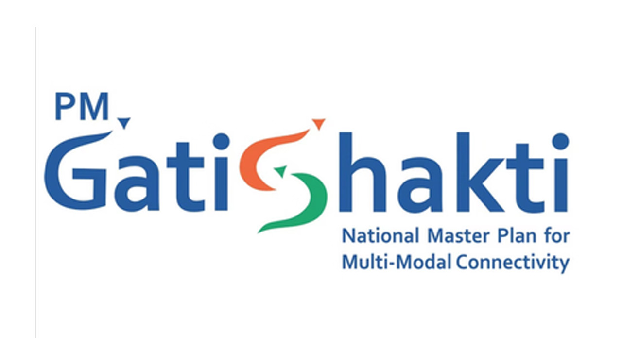
“We have also worked with State governments, municipal authorities for smart cities and other projects besides police and security. In utilities- power, gas and water and telecom are major sectors for us. We are looking at catering to Gati Shakti programme. We are also going to work with companies implementing city gas projects. We are working with governments and private organisations towards sustainable actions. We have built an inhouse dedicated team to focus on sustainability. We have a lot of data on solar energy potential in different parts of the country and how to implement them.”
The company has delivered cutting-edge GIS solutions to over 5,000 customers for applications across land management, water, utilities, infrastructure, disaster management, telecommunications, urban development, smart cities, transportation, defence, and natural resources. Esri’s ArcGIS System provides the backbone for India’s mapping, spatial analysis, and all GIS requirements.
Esri India recently launched GeoInnovation 2022, an acceleration platform for startups, in partnership with AGNIi (Invest India). GeoInnovation programme aims to help startups leverage Location Intelligence technology to build new businesses as well as extend funding support. The company has partnered with startup incubator T-Hub four years ago. So far, Esri has engaged with at least 100 startups.
Strong ecosystem
While on one side the “geo-awareness” and “spatial thinking” surged to all time high in the last 12-15 months, the industry also witnessed major strides by the government through new policies such as Geospatial Data Guidelines, Drone Policy, Draft National Geospatial Policy 2021, among others. India’s geospatial economy has the potential to grow to Rs 63,100 crore by 2025 with a CAGR of 12.8 per cent.
He added, “Geospatial Data Guidelines are going to help the industry besides other policy initiatives of the government, which will make GIS popular. These guidelines bring in much needed clarity to deal with data better. Even the State governments are making efforts in GIS technologies in improving citizen engagement. We have worked on several data sets that are useful to governments. We have published updated demographic data that present new trends and data sets such as weather, crime, traffic, and other details of several regions.”
When asked if the company sees opportunities in facilitating drones’ sector, Kumar said “The DGCA has made a lot of progressive changes in the drone regulations. Esri sees scope to contribute in terms of software capabilities for various drone applications for multiple use cases. After the drones capture images, we provide site scan, and transfer the image on cloud for further processing. Our cloud system offers several benefits and data sets for monitoring, analysis. and planning. So Esri has a role to play from flying the drone, processing data and analytics.”
Now you can get handpicked stories from Telangana Today on Telegram everyday. Click the link to subscribe.
Click to follow Telangana Today Facebook page and Twitter .