Great Musi Flood: Remembering how ferocious Musi drowned Hyderabad in 1908
Hyderabad commemorates the 117th anniversary of the catastrophic Musi River floods of 1908, which claimed nearly 15,000 lives and devastated large parts of the city. Triggered by a cloudburst and the breach of upstream reservoirs, the flood submerged key areas and prompted the Nizam government to commission M. Visvesvaraya to design preventive measures.
Hyderabad: Calm before the storm, an idiom that perfectly described Hyderabad’s situation before Musi River floods in 1908 that marks 117th anniversary this Sunday.
For months since June 1, 1908, Hyderabad had seen below-normal rainfall and Musi River flow was not unusual. On the evening of September 26, that changed.
Also Read
At around 4 pm, Hyderabad saw sharp showers for half an hour followed by drizzles up to 6.30 pm, picking up again with heavy bursts that continued till Sunday morning. After some light and heavy rains on Sunday, post-midnight it developed into a cloudburst, which had been exceptionally heavy.
Even before the cloudburst, the tanks in the river catchment area were full, and the heavy rain led to breach of Palmakul tank and Parti reservoir located 22 km above Hyderabad. This resulted in water level rising by 20 feet in the city by 12 noon on September 27, 1908.
In just a span of two days – September 26 and 27, 1908, 59.89 inches of rain was recorded with 12.03 in Hyderabad, 14,74 in Shunkarpally, 13.95 in Chandanvalli and 18.90 in Shamshabad, which was highest.
All this has been recorded in the ‘Flood of 1908 at Hyderabad’ report by M Visvesavarya, Diwan of Mysore, who was roped in by the then Nizam government to investigate the floods and come up with preventive measures. The report, available with ‘Telangana Today’, has been preserved by the State Archives department.
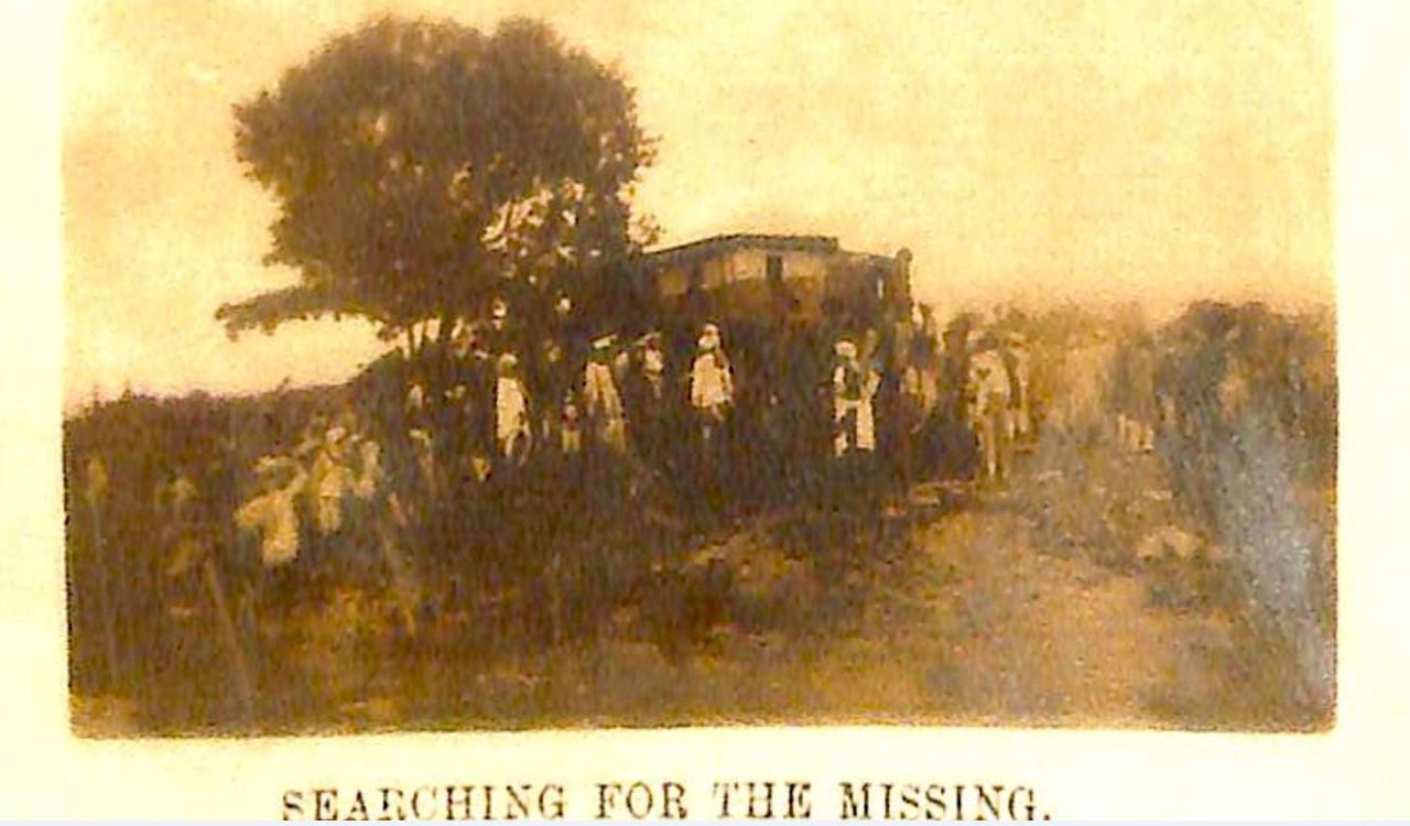
While the Musi River level was gradually rising, the first warning came around 2 am on September 28. The water headed up behind Purana Pul and breached the city rampart on the west side about 3 am. The river dangerously rose by 7 am and by 9 am, all the bridges on the river had been overtopped, with Imlibun Island completely submerged.
Around 11 am the flood had reached its maximum before beginning to recede at Afzul bridge and by 8 pm the river flow reached to ordinary high monsoon flood level.
“From about 700 feet between the normal river banks, the water had spread over the city up to a width of three-quarters of a mile. The greatest depth of water above the general bed level of the river in the city varied from 38 to 45 feet,” the report said.
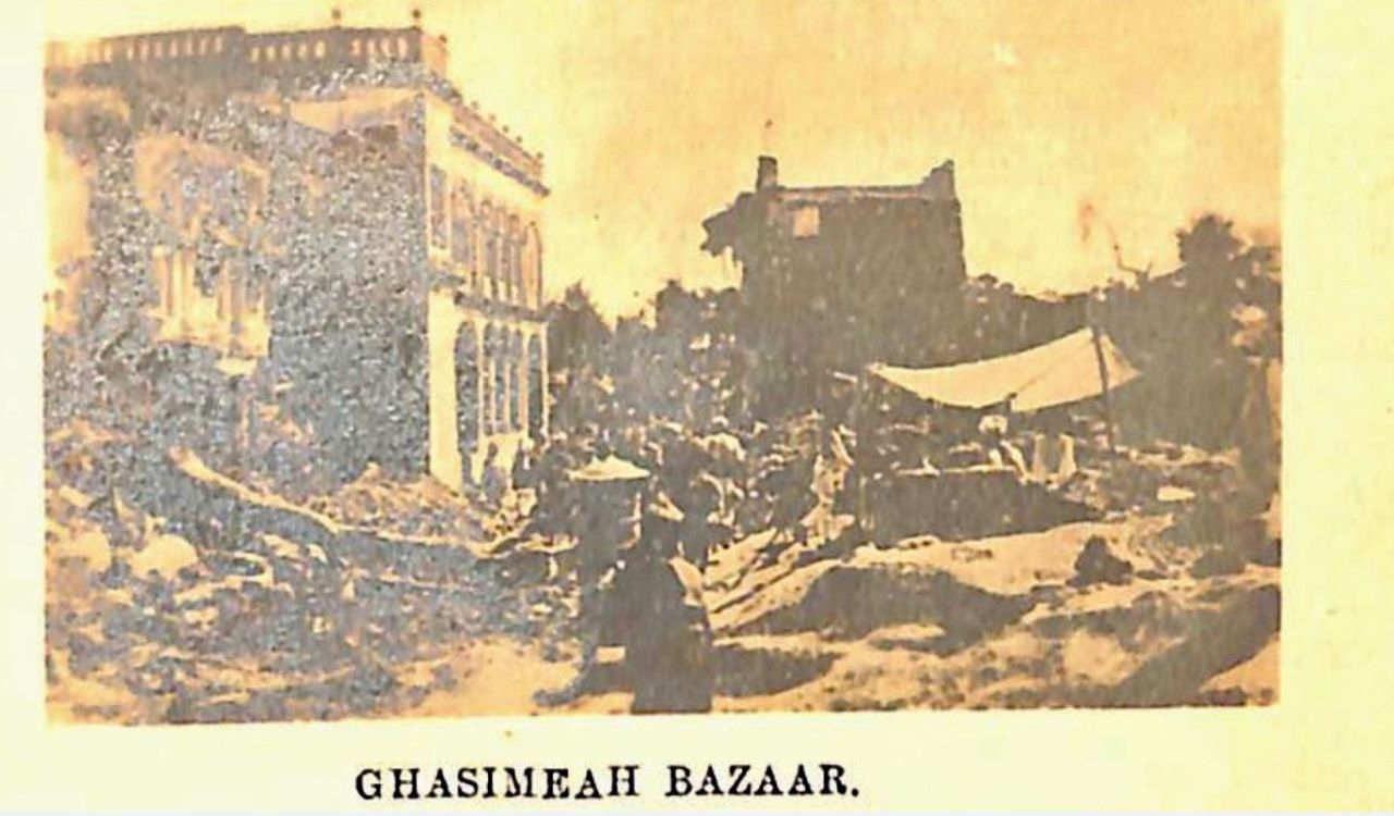
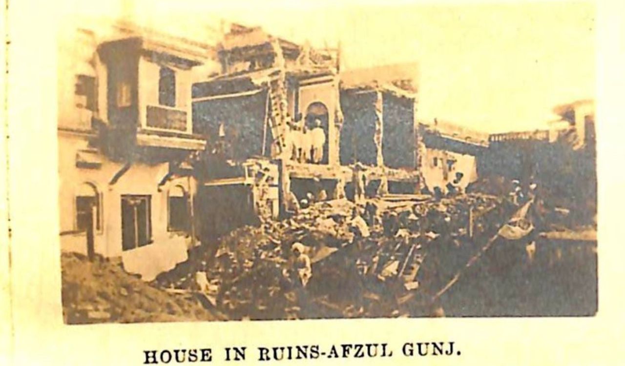
It was said that nearly 15,000 people lost their lives and numerous buildings collapsed. Among the affected areas included Kolsawadi, Yadgar Hussain Koonta, Saheb Ganj, Mahbub Shahi, Char Mahal, Ghasemieh Bazaar, Horse Carwan, Dhool Pett, Kasar Ghat, Chudi Bazaar, Dal Mundi, Nasir Jung Chilla, Kolsawadi, Kishen Ganj, Abdullah Risala, Maharaj Ganj, and Jam Bagh.
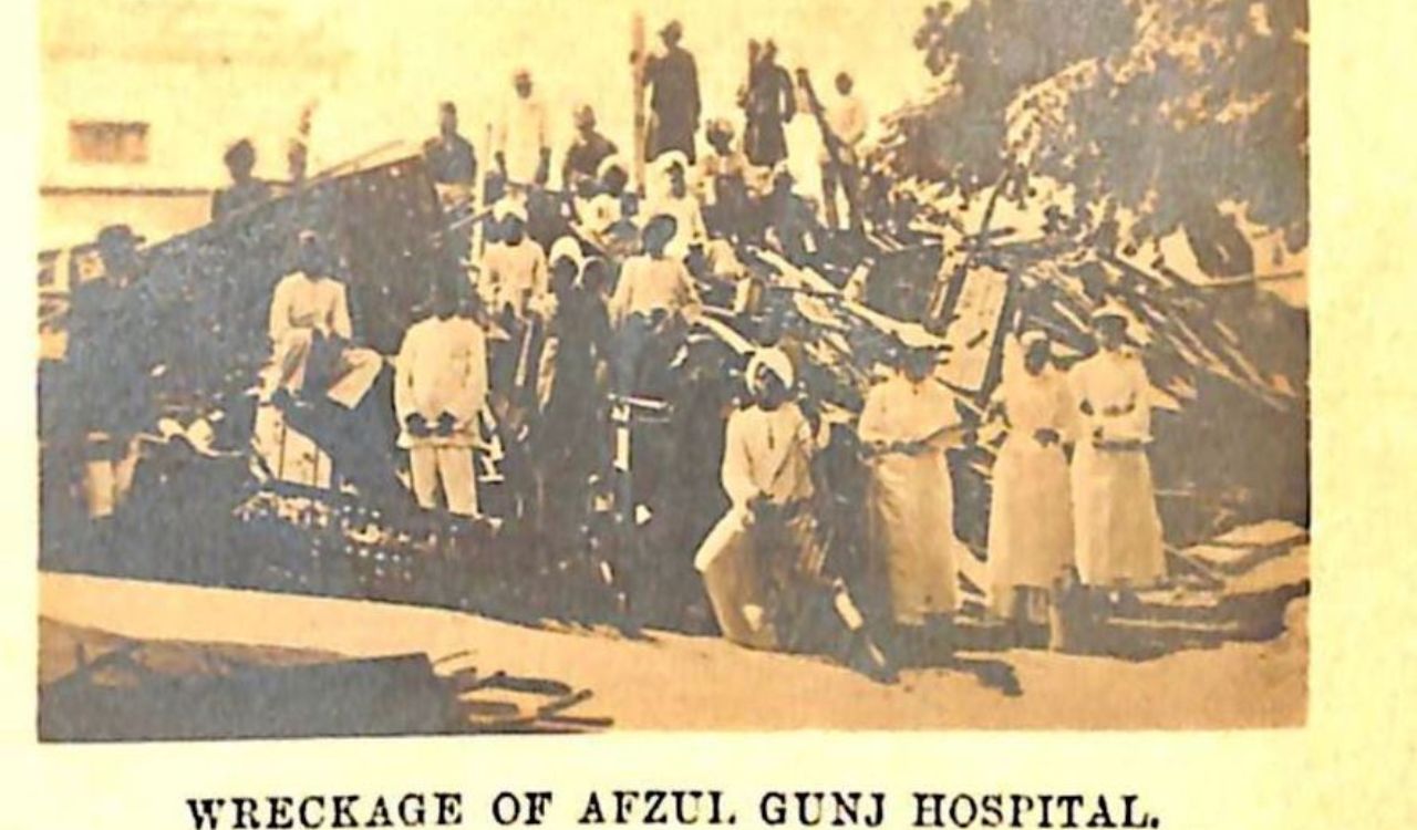
While the Purana Pul and Musallam bridge on the river suffered little or less damage, the Afzul bridge suffered most and Chaderghat bridge was partly damaged.
To control floods, along with other measures, including improved drainage system, river embankments and flood channels, Visvesavarya proposed two reservoirs – Easi Reservoir and Musi Reservoir – with a total capacity of 20,389 million cubic feet. This resulted in the construction of Osmansagar and Himayatsagar.
Image credit: Telangana State Archives & Research InstituteImage credit: Telangana State Archives & Research Institute
Image credit: Telangana State Archives & Research Institute