ICRISAT pioneers rapid soil degradation mapping using satellite, spectroscopy tools
ICRISAT scientists have introduced a fast and cost-effective method to map soil degradation in semi-arid zones using satellite and spectroscopy data. The study shows irrigation can reduce degradation impacts, offering new hope for rainfed farming resilience
Sangareddy: Researchers at the International Crops Research Institute for the Semi-Arid Tropics (ICRISAT) have developed an innovative and scalable approach to assess soil degradation in semi-arid agricultural landscapes by integrating proximal and satellite-based diffuse reflectance spectroscopy (DRS).
The study, titled “Assessing soil degradation in agricultural landscapes of semi-arid tropics using proximal and remote sensing-based diffuse reflectance spectroscopy’, was recently published by the British Society of Soil Science. It presents a fast, accurate, and cost-effective alternative to traditional lab-based soil testing, reducing the assessment time from weeks to mere minutes.
By correlating degradation maps with actual crop yields, the research revealed a critical insight, that irrigation could buffer farms against the worst effects of soil degradation, offering a potential lifeline for rainfed agriculture in semi-arid regions.
Deputy Director General – Research and Innovation, Dr Stanford Blade, said the technique empowers both farmers and policymakers with timely, actionable insights to protect soil health, improve resilience, and safeguard food systems in the semi-arid tropics. He noted that the innovation aligns with India’s and the Global South’s growing need for climate-smart tools that bridge the gap between lab research and field application.
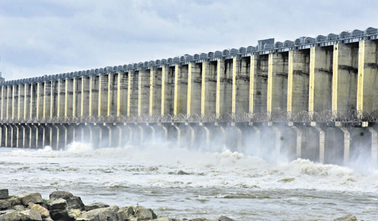
The research team used laboratory-based spectroscopy alongside Sentinel-2 satellite imagery to map soil degradation in dryland farming areas of Maharashtra. The results showed high accuracy, demonstrating the potential for large-scale soil health monitoring.
Dr Kaushal K. Garg, Principal Scientist (Natural Resource Management), ICRISAT, noted that by combining proximal spectroscopy with Sentinel-2 data, the team achieved 81 per cent accuracy in quantifying soil degradation, a landmark achievement for semi-arid agroecosystems.
“This is not just remote sensing; it’s a precision tool tailored to the context of smallholder farms, where every data point can drive irrigation investments or prioritise land restoration,” he said.