Forest lands identified with GPS: Mancherial Collector
Mancherial: Collector Bharati Hollikeri said that the identification of forest lands, used for cultivation, was carried out with the help of Global Positioning System (GPS) to ensure accuracy. She was speaking at a programme meant for training foresters, land surveyors over identification of podu lands here on Friday. Bharati said that the district so far […]
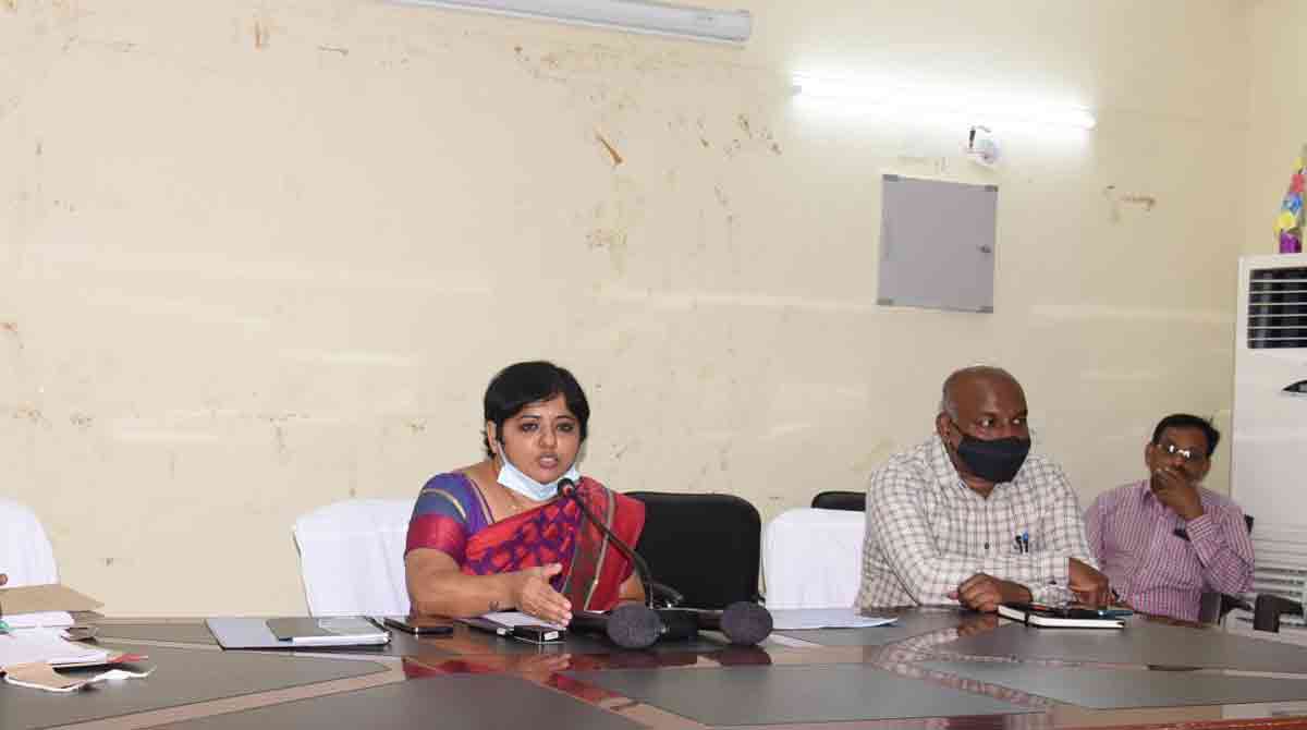
Mancherial: Collector Bharati Hollikeri said that the identification of forest lands, used for cultivation, was carried out with the help of Global Positioning System (GPS) to ensure accuracy. She was speaking at a programme meant for training foresters, land surveyors over identification of podu lands here on Friday.
Bharati said that the district so far has registered 11,774 applications seeking rights over forest lands. She stated that 33,418 acres of forest land was under cultivation. She emphasised the role of foresters and land surveyors in establishing the land of the forest being tilled by tribals. She opined that the forest department should take steps to prevent encroachment of the lands.
The IAS officer further said that the government would make a decision with regard to Podu lands and applications were being processed. She stated that 16 surveyors and 95 teams were tasked with identification of the lands occupied for cultivation in the district. She advised the foresters to have an understanding of the Recognition of Forest Rights (RoFR) Act, 2006.
Now you can get handpicked stories from Telangana Today on Telegram everyday. Click the link to subscribe.
Click to follow Telangana Today Facebook page and Twitter .