PJTAU satellite analysis reveals gap in Telangana’s crop coverage
A satellite-based study by PJTAU has found that the cropped area in Telangana was 8–12 percent lower than the total cultivable land during the last Kharif season. The data will help improve crop insurance and delivery of government schemes.
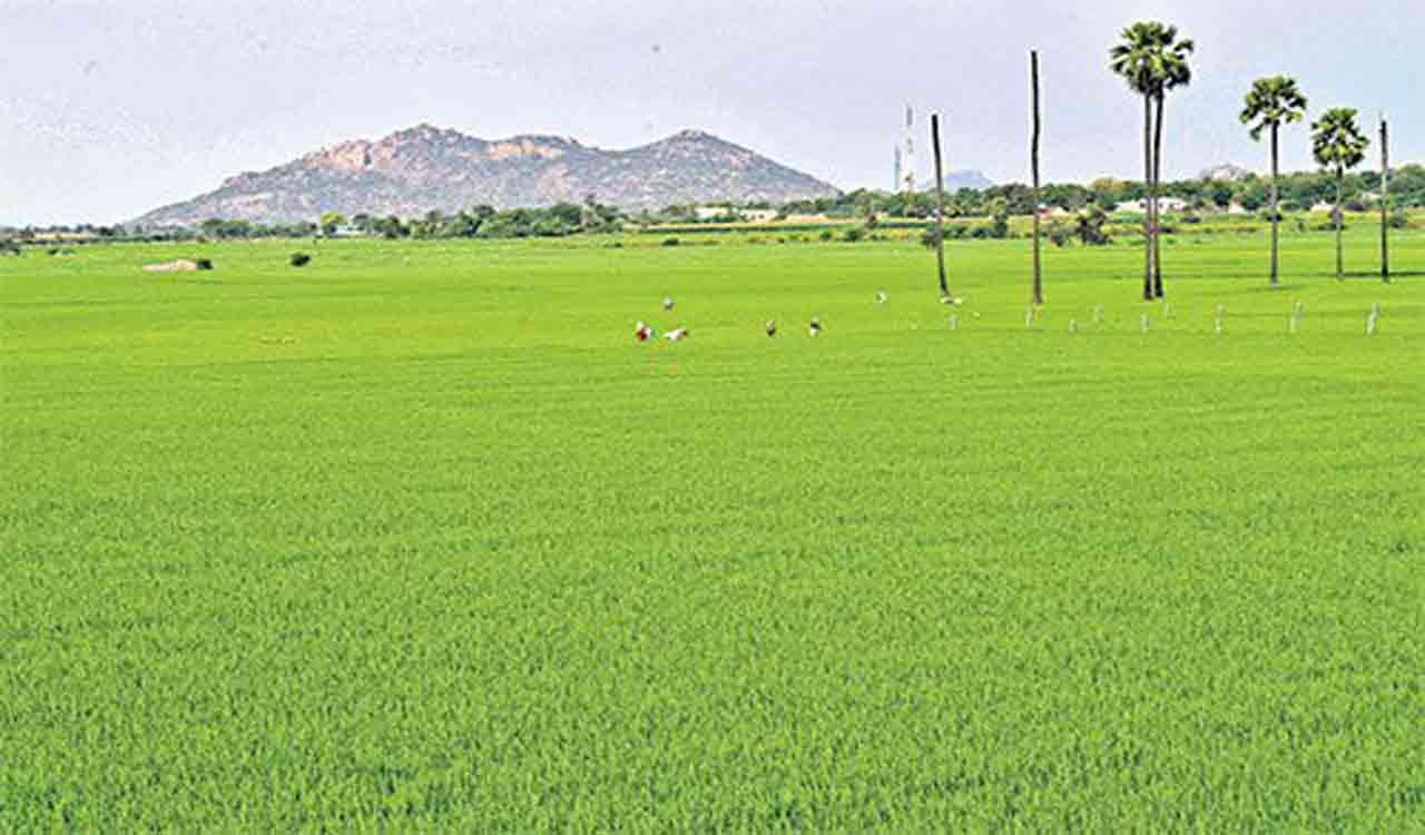
Hyderabad: A research carried out by Professor Jayashankar Telangana Agricultural University (PJTAU) scientists revealed that the average cropped area is 8 to 12 per cent less compared to the total cultivable area in the State in the last Kharif season. The university has come to the conclusion based on satellite imagery of the entire State.
Over the past few months, the University’s Remote Sensing and GIS Laboratory, in collaboration with SARMAP, a satellite image analysis organisation based in Switzerland, has been conducting an innovative project to estimate crop area survey-wise in every village based on satellite imagery.
Results of this innovative technological project were verified by agricultural field-level staff and the accuracy was found to be around 90 per cent, said Prof Aldas Janaiah, Vice Chancellor, PJTAU.
“Except for about 870 revenue villages in the State for which maps are not available, satellite-based crop area estimation has been completed for all remaining revenue villages. According to the preliminary results, it is found that, on average, the actual cropped area is 8–12 per cent less compared to the total cultivable area,” he said.
According to Remote Sensing and GIS Laboratory, in charge Dr TL Neelima, a European Space Agency satellite captures high-resolution images of Telangana once in every 12 days. “These images, which are available free of cost, are processed using sophisticated software and the cropped area is analysed. We will be doing the project for the Rabi season as well. Not just estimating the crop area, we will also take up a crop-wise survey,” she said.
According to Prof Janaiah, the satellite imagery-based study will ensure that farmers who suffer losses receive crop insurance compensation. It will also help ensure that various government schemes reach every eligible farmer, he said, adding that “The State government can use the information the way it wants”.
A comprehensive report on crop area estimation for all districts will be submitted to Agriculture Minister T Nageswara Rao on February 6.