Rain gods spring pleasant surprise in Hyderabad
Thursday started off with a sultry morning, but by afternoon, the weather gods blessed Hyderabad with a pleasant surprise
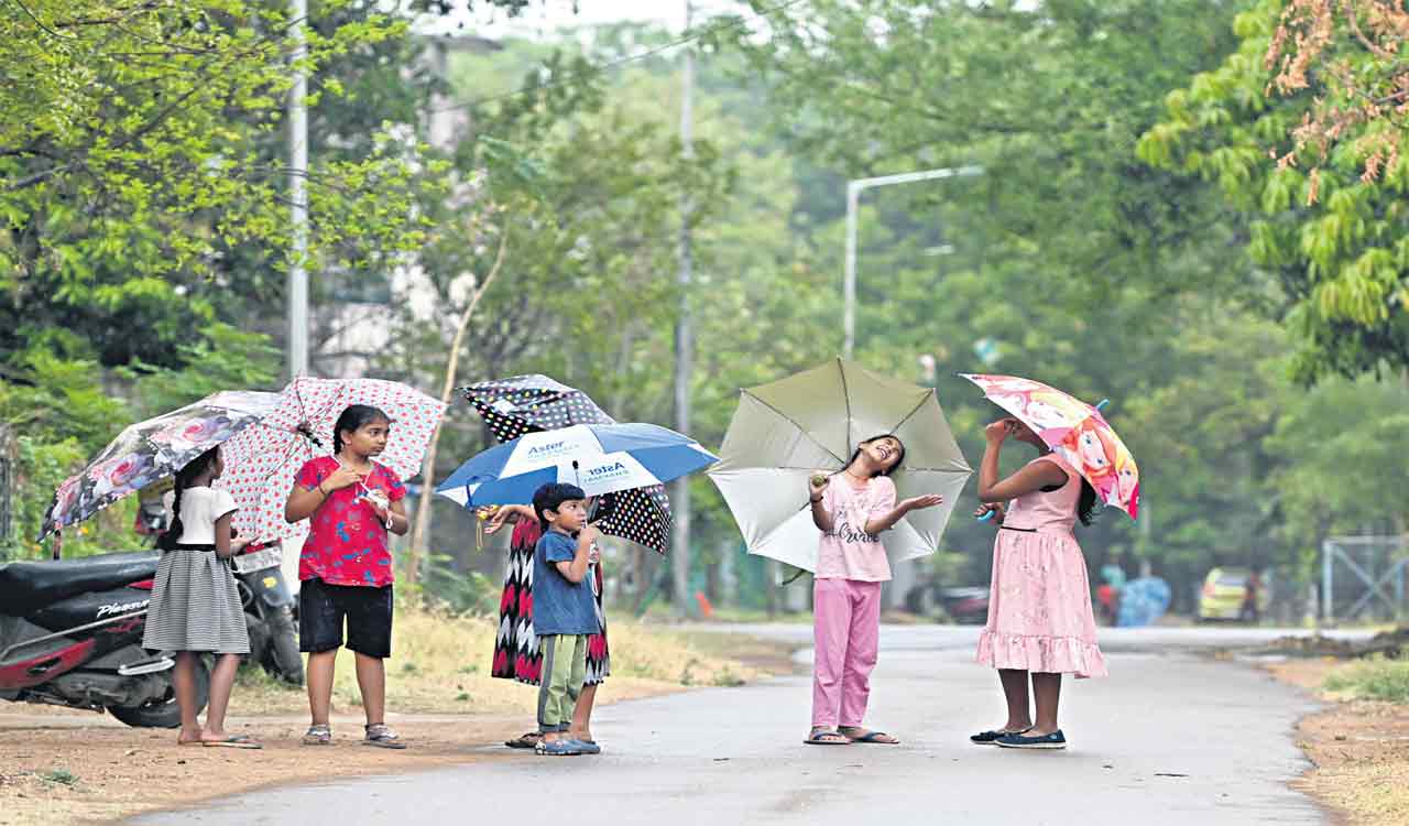
Hyderabad: Thursday started off with a sultry morning, but by afternoon, the weather gods blessed Hyderabad with a pleasant surprise. Cloudy skies and thunderstorms moved in, bringing light-to-moderate rain across the city, which ultimately brought the temperature down to a comfortable level.
The sudden drizzle caught citizens off guard as they rushed to grab their umbrellas and raincoats. The thunderstorms added to the drama, with lightning and thunder rumbling across the city.
Also Read
The streets were filled with the sound of raindrops splashing on the roads, while the aroma of freshly drenched earth filled the air.
According to the India Meteorological Department-Hyderabad (IMD-H), the thunderstorms are expected to continue in the city till March 21. The sudden and sharp increase in wind speed is expected on Friday.
The pre-monsoon rains have hit the State earlier than usual, thanks to an active western disturbance. It’s worth noting that Hyderabad has not received proper rains in March for the last four years. The highest rainfall of 38.4 mm was recorded on March 5, 2014, which was rare.
The IMD has also issued a warning for the next five days stating that lightning, gusty winds and hailstorms are likely to occur in most districts of the State.
The entire State is on alert and the authorities are taking necessary measures to ensure the safety of citizens. The weather department has also urged farmers to take necessary precautions and protect crops from the harsh weather.
What are pre-monsoon rains?
Pre-monsoon rains refer to the rainfall that occurs before the arrival of the monsoon season. These rains are also known as ‘pre-monsoon showers’ and occur in April, May and June.