Working towards permanent solution for Gramakantam land issues: Errabelli
Hyderabad: Panchayatraj and Rural Development Minister E Dayakar Rao said the State Government was working towards coming up with permanent solution for Gramakantam lands issues in villages across the State. Towards this initiative, identification of such lands owned by people, ensuring legal rights and facilitating sale and purchase transactions of such lands was being examined, […]
Hyderabad: Panchayatraj and Rural Development Minister E Dayakar Rao said the State Government was working towards coming up with permanent solution for Gramakantam lands issues in villages across the State.
Towards this initiative, identification of such lands owned by people, ensuring legal rights and facilitating sale and purchase transactions of such lands was being examined, besides updating the records accordingly, he said.
Addressing DPOs, MPDOs, Sarpanchs and others at a review meeting here on Thursday, the Minister said through Dharani portal all the land issues were being addressed in a phased manner. Similarly, Chief Minister K Chandrashekhar Rao was focusing on addressing the Gramakantam lands, he said.
Under the Svamitva scheme, a pilot project was being taken up to conduct a drone survey in association with Survey of India for preparing maps of Gramakantam lands in Saraswatiguda, Ranga Reddy, Godumakunta, Medchal, Ghanpur station, Jangaon, Arli, Adilabad and Domakonda villages, Kama Reddy, the Minister said.
Another project was also under progress at Kothapally and Mallampet in, Medak, Annareddypally and Nencherla in Mahabubnagar districts.
Through these two surveys, officials would identify any issues surfacing in demarcation of lands, status of existing records and measures to be taken to address the issues. The Minister also sought suggestions from officials on measures to be taken up as part of this exercise.
During the meeting, a few sarpanches informed the Minister that there was slight variation in drone survey and manual survey in finalizing the boundaries between two houses. This was mainly due to the compound walls being considered as a factor in manual survey and slab area being considered under the drone survey. However, they opined that drone survey was more effective and acceptable.
Related News
-

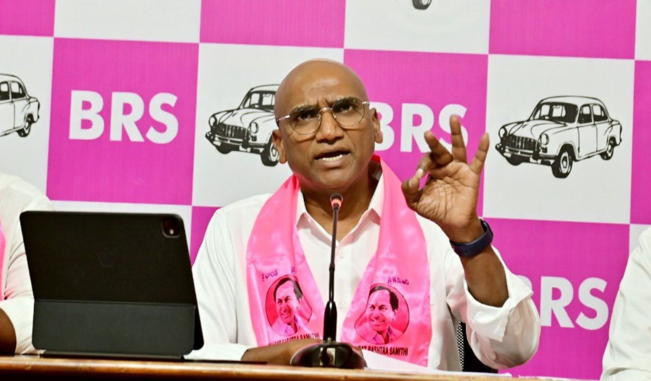
RS Praveen Kumar questions selective security cover, vows legal action
-
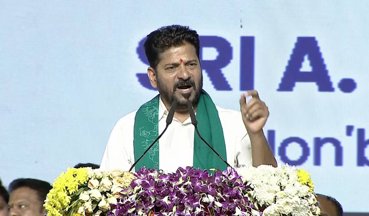
State requires Rs.2,200 crore to Rs.2,400 crore annually for fee reimbursement, says Revanth Reddy
-
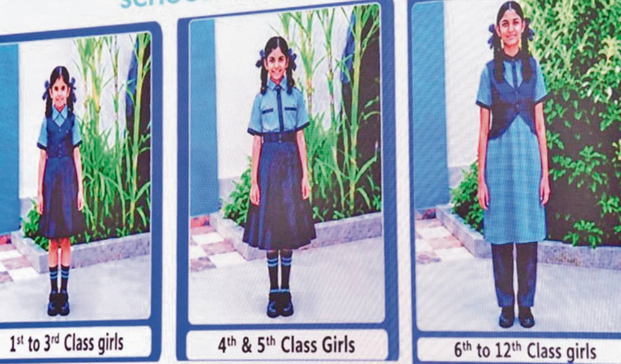
Telangana govt school students begin new academic year in old uniforms
-
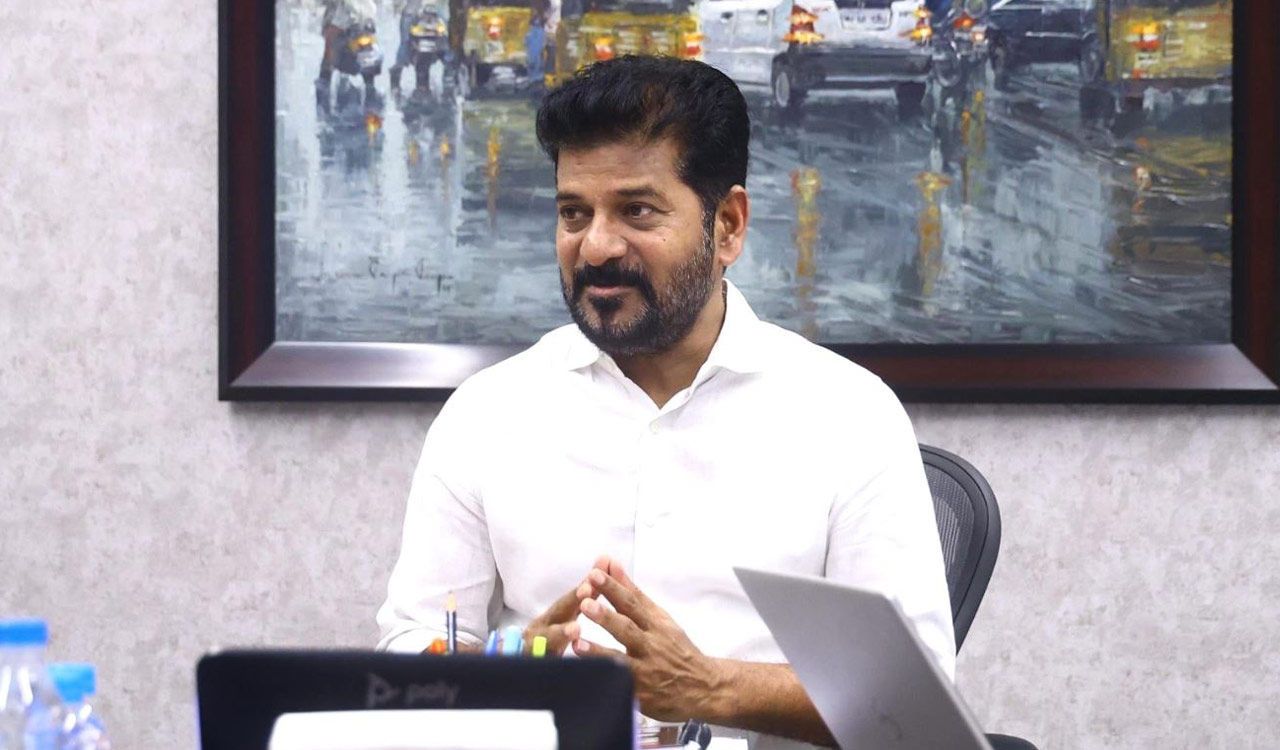
Telangana begins SC-mandated inspections of private universities