Hyderabad-based INCOIS, an ‘ocean’ of information for fishermen
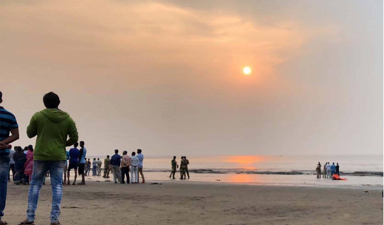
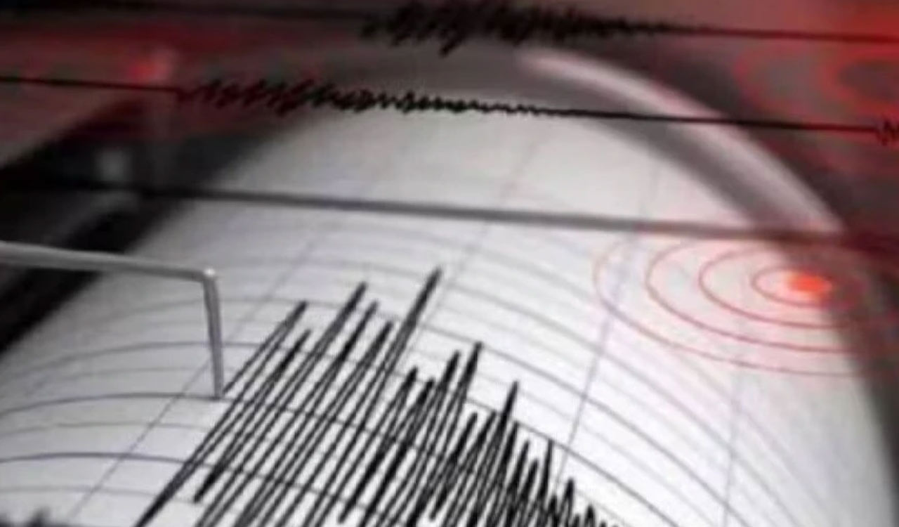
Hyderabad: In the early hours of Tuesday, an earthquake of magnitude 7.7 on the Richter scale hit Flores Sea in Indonesia, roughly 4,300 km away from the Bay of Bengal. Within minutes of Indonesia issuing a local Tsunami warning, Indian National Centre for Ocean Information Sciences (INCOIS), the Hyderabad-based Indian tsunami warning agency issued a […]
Hyderabad: In the early hours of Tuesday, an earthquake of magnitude 7.7 on the Richter scale hit Flores Sea in Indonesia, roughly 4,300 km away from the Bay of Bengal. Within minutes of Indonesia issuing a local Tsunami warning, Indian National Centre for Ocean Information Sciences (INCOIS), the Hyderabad-based Indian tsunami warning agency issued a specific ‘No Tsunami Threat to India’ advisory, which went a long way in calming the nerves of people who were closely following the developments.
Established after the disastrous Tsunami of December 2004, the Hyderabad-based tsunami warning centre of INCOIS now literally has become the eyes that carefully monitor and record the developments in oceans, surrounding the entire Indian coastline.
“All our services are 24X7, which means we observe the oceans surrounding the country’s coastline round-the-clock because we don’t know when a Tsunami or other natural phenomena like huge tidal waves or ocean swells that can potentially flood the coastline, occur. So, we continuously monitor the oceans,” says senior scientist and Group Director, Ocean Services and Applied Research (OSAR), INCOIS, Dr Balakrishnan Nair.
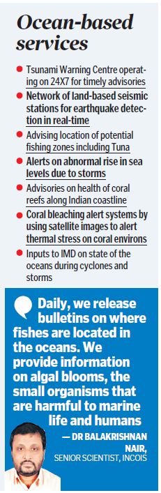
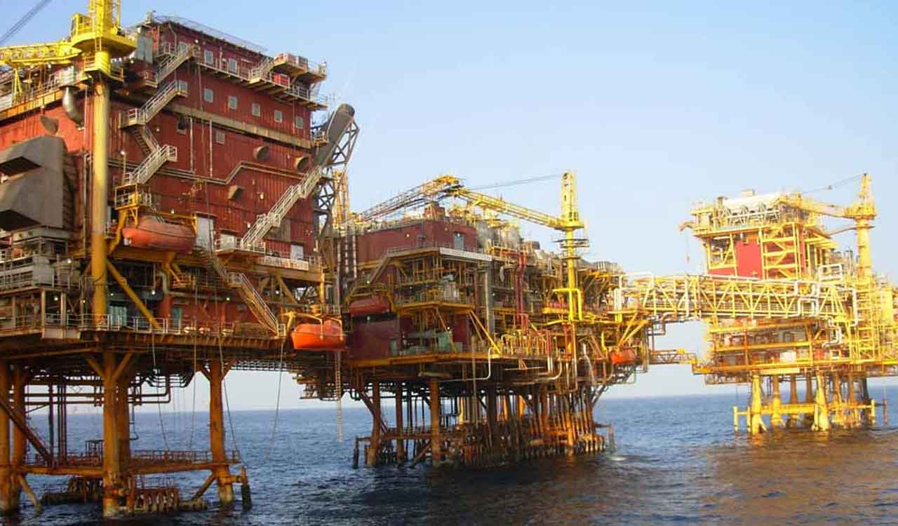
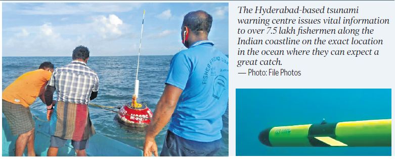
It’s not just Tsunami warning systems for which INCOIS is known, as the top ocean research agency on a daily basis issues vital information to over 7.5 lakh fishermen along the Indian coastline on the exact location in the ocean where they can expect a great catch of fish, collaborates with IMD to release ocean bulletins during cyclones and works with private oil companies for their ocean-related operations.
“We track and record multiple events in the ocean. Tsunami alerts are far less frequent when compared to other events like high waves due to cyclones, swells or surface gravity waves in the ocean, wave surges due to cyclones and high tides that could potentially flood coasts,” says Dr Balakrishnan.
Apart from tracking physical aspects of the Bay of Bengal and the Arabian Sea, in the last few years, INCOIS researchers have also developed vital advisories on the biological phenomenon. “Daily, we release bulletins on where fishes are located in the oceans. We provide information on algal blooms, the small organisms that are harmful to marine life and humans,” he said.
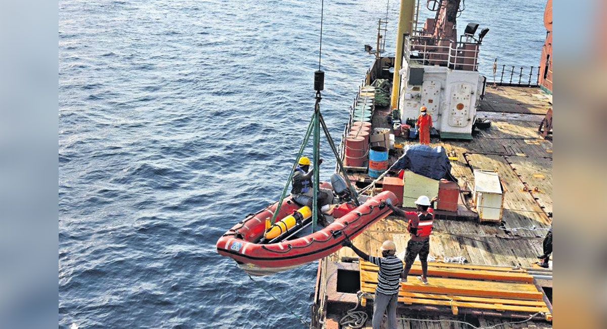
From their round-the-clock observational posts, the INCOIS researchers assimilate ocean data from various sources including ocean buoys, real-time satellite images, tracking geosynchronous and polar-orbiting satellites, automatic weather stations, robotic floats that go 2 to 3 km deep into the ocean and report back data.
“By using real-time data, we can alert what is actually happening in the oceans like Tsunami and high wave alerts. By assimilating the collected data and using numerical models, we simulate the ocean forecast for the next few days,” says Dr Balakrishnan.
Now you can get handpicked stories from Telangana Today on Telegram everyday.
Click the link to subscribe. Click to follow Telangana Today Facebook page and Twitter .