NISAR Mission to study climate change
NASA and ISRO are collaborating on developing a satellite called NASA-ISRO Synthetic Aperture Radar (NISAR), which will detect movements of the planet’s surface as small as 0.4 inches over areas about half the size of a tennis court.
NISAR is the world’s most expensive Earth-imaging satellite. Being a combined US-India satellite, the mission becomes even more important as it is scheduled to launch from Indian soil. Read more about the mission…
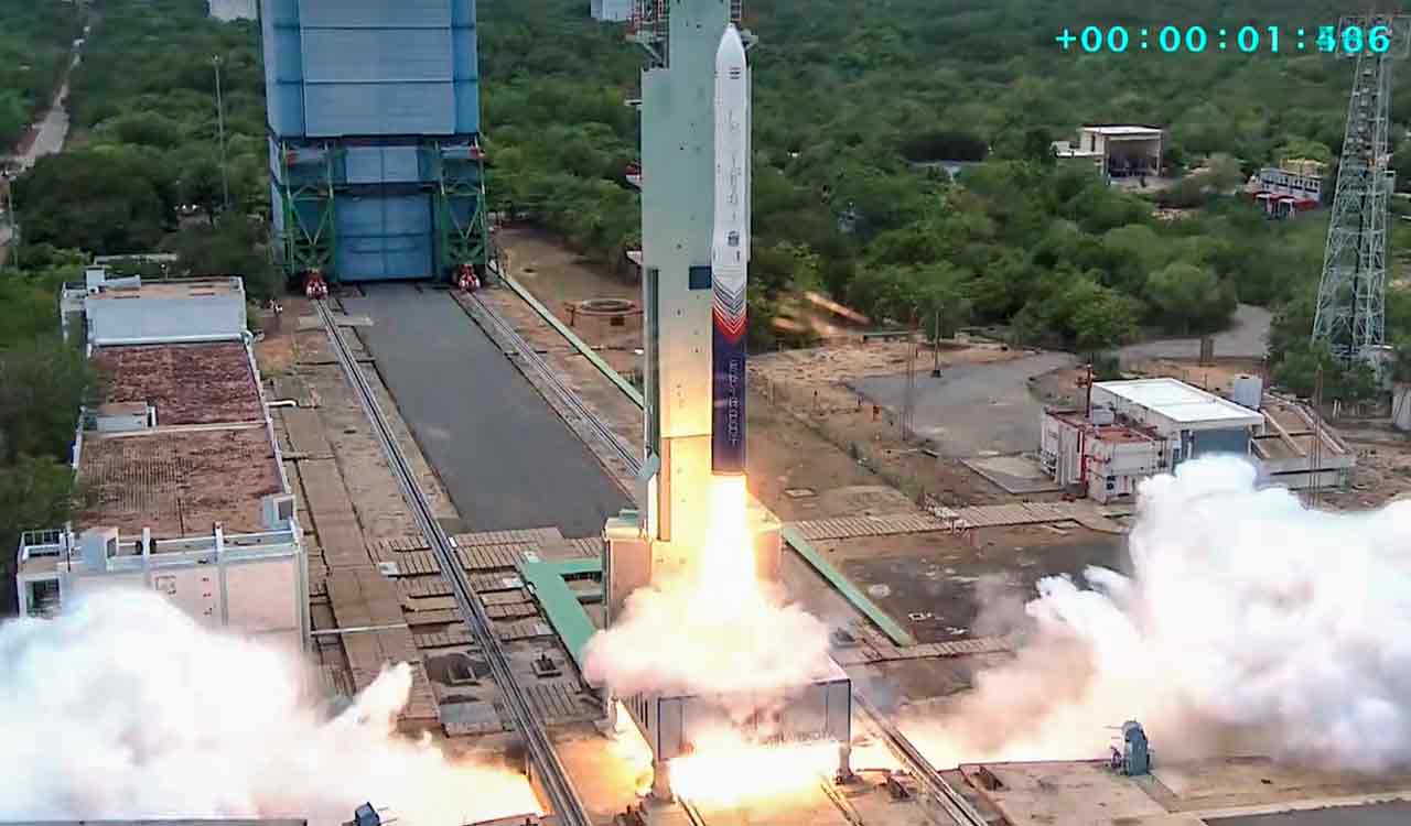
NASA and ISRO are collaborating on developing a satellite called NASA-ISRO Synthetic Aperture Radar (NISAR), which will detect movements of the planet’s surface as small as 0.4 inches over areas about half the size of a tennis court. The satellite will be launched in 2022 from the Satish Dhawan Space Center in Sriharikota, (Andhra Pradesh) into a near-polar orbit and will scan the globe every 12 days over the course of its three-year mission of imaging the Earth’s land, ice sheets and sea ice to give an “unprecedented” view of the planet.
Jointly developed space mission
NISAR an SUV-sized satellite that is being jointly developed by the space agencies of the US and India. The partnership agreement was signed between NASA and ISRO in September 2014, according to which NASA will provide one of the radars for the satellite, a high-rate communication subsystem for science data, GPS receivers and a payload data subsystem. ISRO, on the other hand, will provide the spacecraft bus, the second type of radar (called the S-band radar), the launch vehicle and associated launch services.
Mission aim
The Mission will measure Earth’s changing ecosystems, dynamic surfaces, and ice masses providing information about biomass, natural hazards, sea level rise, and groundwater, and will support a host of other applications.
NISAR will observe Earth’s land and ice-covered surfaces globally with 12-day regularity on ascending and descending passes, sampling Earth on average every 6 days for a baseline 3-year mission.
Components
Significantly, NISAR will be equipped with the largest reflector antenna ever launched by NASA and its primary goals include tracking subtle changes in the Earth’s surface, spotting warning signs of imminent volcanic eruptions, helping to monitor groundwater supplies and tracking the rate at which ice sheets are melting.
The name NISAR is short for NASA-ISRO-SAR. SAR here refers to the synthetic aperture radar that NASA will use to measure changes in the surface of the Earth. Essentially, SAR refers to a technique for producing high-resolution images. Because of the precision, the radar can penetrate clouds and darkness, which means that it can collect data day and night in any weather.
During the course of three years, the images will allow scientists to track changes in croplands, hazard sites and will help them to monitor crises such as volcanic eruptions.
—
| Mission characteristics | |
| Mission Name | NASA-ISRO Synthetic Aperture Radar (NISAR) |
| Mission Duration | 3 years |
| Launch Date | September 2022 |
| Launch Site | Satish Dhawan Space Center |
| Satellite Orbit Altitude | 747 km |
| Satellite Operator | NASA & ISRO |
| Rocket | GSLV Mk. II |
| Aim of the Mission | Observing Earth’s changing Ecosystem and masses |
| Total Cost | US$1.5 billion |
Now you can get handpicked stories from Telangana Today on Telegram everyday. Click the link to subscribe.
Click to follow Telangana Today Facebook page and Twitter .