Saturday, Jun 20, 2026
English News
  • Hyderabad
  • Telangana
  • AP News
  • India
  • World
  • Entertainment
  • Sport
  • Science and Tech
  • Business
  • Rewind
  • ...
    • NRI
    • View Point
    • cartoon
    • My Space
    • Education Today
    • Reviews
    • Property
    • Lifestyle
E-Paper
  • NRI
  • View Point
  • cartoon
  • My Space
  • Reviews
  • Education Today
  • Property
  • Lifestyle
Home | News | All Roads In Telangana To Be Mapped Through Satellite Remote Sensing Systems

‘All roads in Telangana to be mapped through satellite remote sensing systems’

Vinod Kumar said that satellite mapping would be very useful for laying the shortest possible road connectivity in future.

By Telangana Today
Published Date - 2 January 2023, 10:03 PM
‘All roads in Telangana to be mapped through satellite remote sensing systems’
Vice-Chairman of the State Planning Board B Vinod Kumar (File Photo)
whatsapp facebook twitter telegram

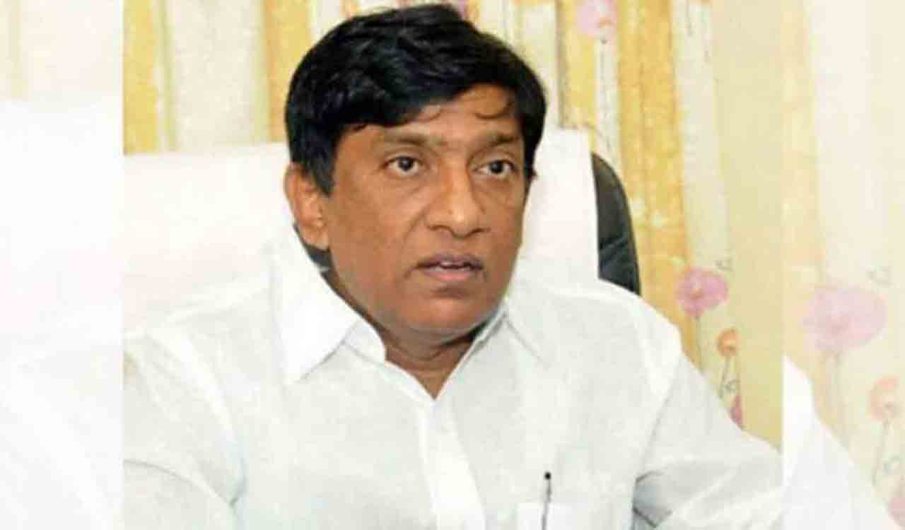
Hyderabad: Vice-Chairman of the State Planning Board B Vinod Kumar said all roads in the State would be mapped with the help of satellite remote sensing systems to help in better planning and maintenance.

Vinod Kumar, who held a meeting with Additional Director General of Telangana Remote Sensing Application Centre (TRAC) G Sreenivas Reddy and other scientists of the Centre here on Monday, said that the length and width of Panchayat Raj, Roads and Buildings, State Highways and National Highways roads in the State would be mapped with the help of remote sensing. Even the need for culverts and bridges on roads would be mapped through satellite remote sensing systems, he informed.

Also Read

  • Vinod Kumar calls for action plan for strengthening economic, statistics and planning depts

Vinod Kumar said that satellite mapping would be very useful for laying the shortest possible road connectivity in future. “Satellite mapping will serve as a guide for future action plans for laying roads in the State,”he said. He asked the officials to complete the road satellite mapping process within the stipulated time.

  • Follow Us :
  • Tags
  • Roads
  • satellite mapping
  • Telangana

Related News

  • Congress buried Rythu Declaration by restricting procurement of grains: Harish Rao

    Congress buried Rythu Declaration by restricting procurement of grains: Harish Rao

  • HRDA seeks five-year renewal cycle for MTP, PCPNDT centre registrations in Telangana

    HRDA seeks five-year renewal cycle for MTP, PCPNDT centre registrations in Telangana

  • Southwest Monsoon likely to regain momentum across Telangana from June 23: IMD

    Southwest Monsoon likely to regain momentum across Telangana from June 23: IMD

  • Telangana: Rythu Bima claims hit as Rs 441-crore premium dues remain unpaid

    Telangana: Rythu Bima claims hit as Rs 441-crore premium dues remain unpaid

Latest News

  • Dozens feared injured in London-bound train crash

    5 hours ago
  • Hyderabad police announce diversions ahead of Elephant Trial Walk procession on June 20

    5 hours ago
  • Telangana CID arrests Worldline VP in Falcon fraud case

    5 hours ago
  • Congress govt eyes revenue growth through tourism, sand exports

    6 hours ago
  • Editorial: The high cost of Bihar’s dry law

    6 hours ago
  • Jilted lover held for knife attack on woman’s family in Raidurgam

    6 hours ago
  • Raidurg land auction case: Telangana govt weighs future dealings with SBI

    6 hours ago
  • Opinion: Modern Pompeii — questions only

    6 hours ago

company

  • Home
  • About Us
  • Contact Us
  • Privacy Policy

business

  • Subscribe

telangana today

  • Telangana
  • Hyderabad
  • Latest News
  • Entertainment
  • World
  • Andhra Pradesh
  • Science & Tech
  • Sport

follow us

  • Telangana Today Telangana Today
Telangana Today Telangana Today

© Copyrights 2024 TELANGANA PUBLICATIONS PVT. LTD. All rights reserved. Powered by Veegam